
- Home
- Daily Field Report Report ID: 62533
- This project is inactive from admin. Download Report
Daily Field Report
Date :10/18/2023
Project No :2023G189
Client Company :Travis Pruitt & Assoc./Fern Park Dev.
Arrival Time :10/18/2023 08:00
Onsite Hours :10:00
Name of the Project :Kilgore Road Tract
Project Location :Buford
Weather :Sunny
Departure Time :10/18/2023 18:00
ASEC Technician Name :Vidal Dias
Observations/Finding
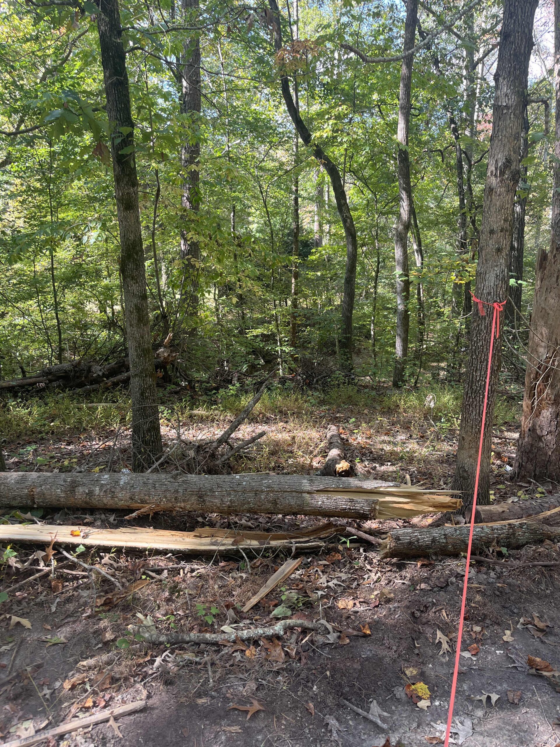
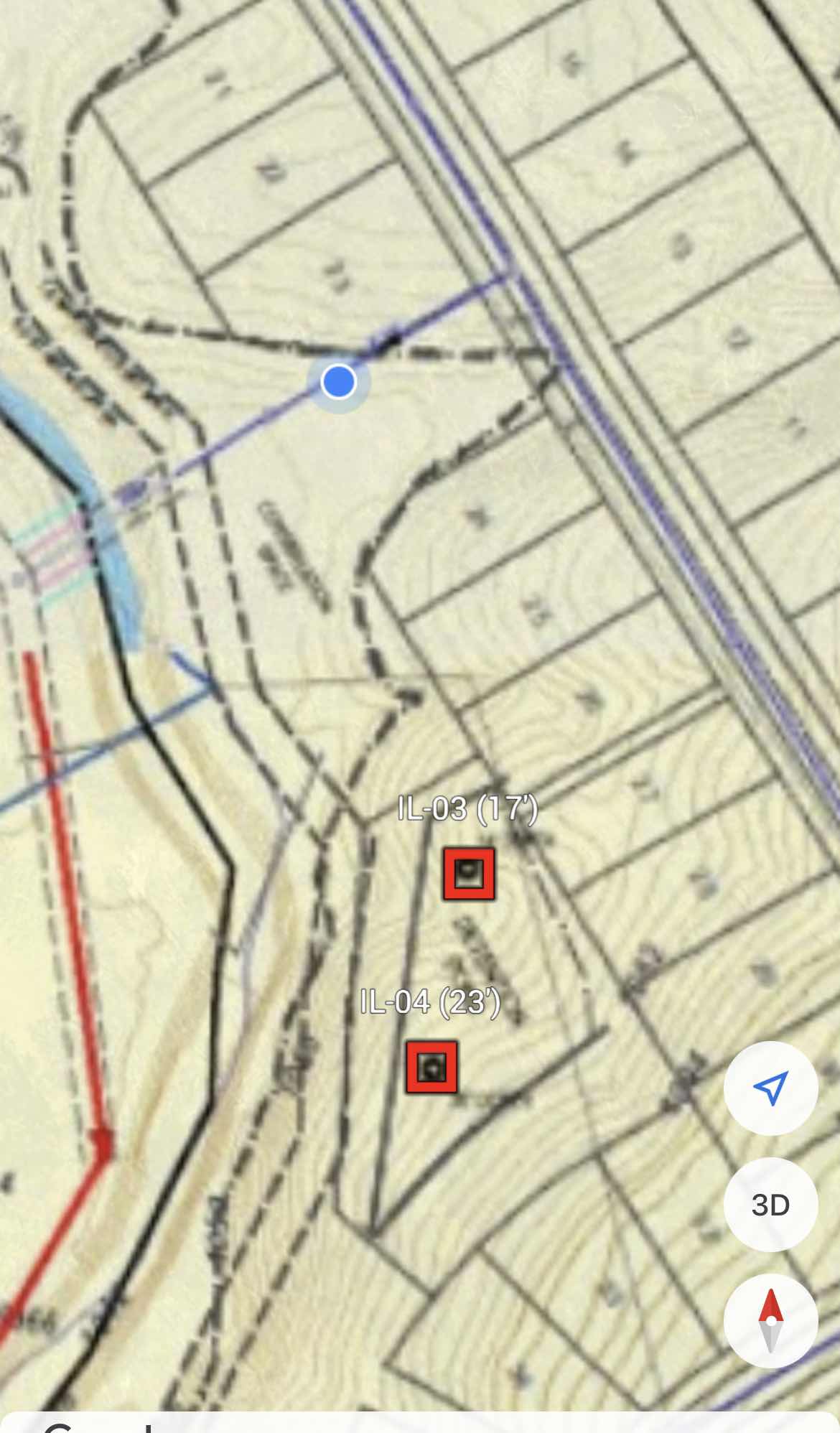
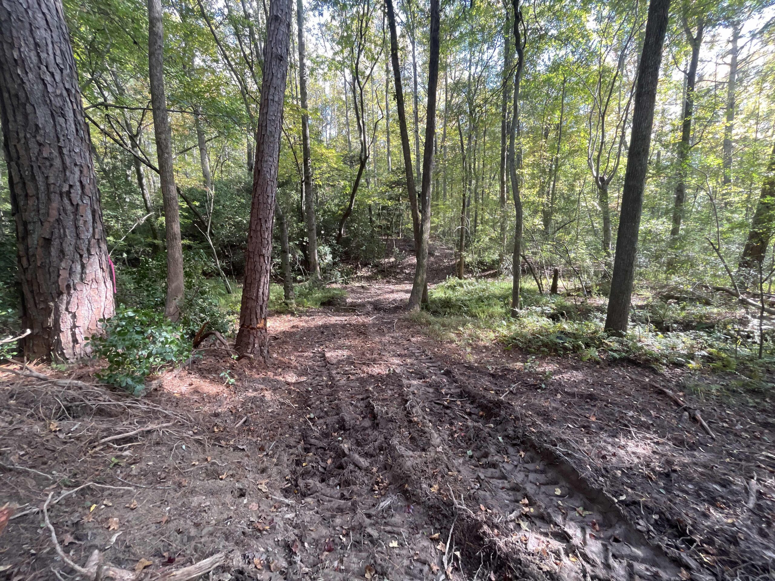
The Kilgore Road Infiltration Test aimed to assess the hydrogeological and ecological characteristics of multiple borehole sites, designated as I-1, I-2, I-3, and I-4.
Methodology:
Percolation tests were conducted in compliance with ASTM D6391 standards, utilizing straight auger bores and offset bores at varying depths.
Findings:
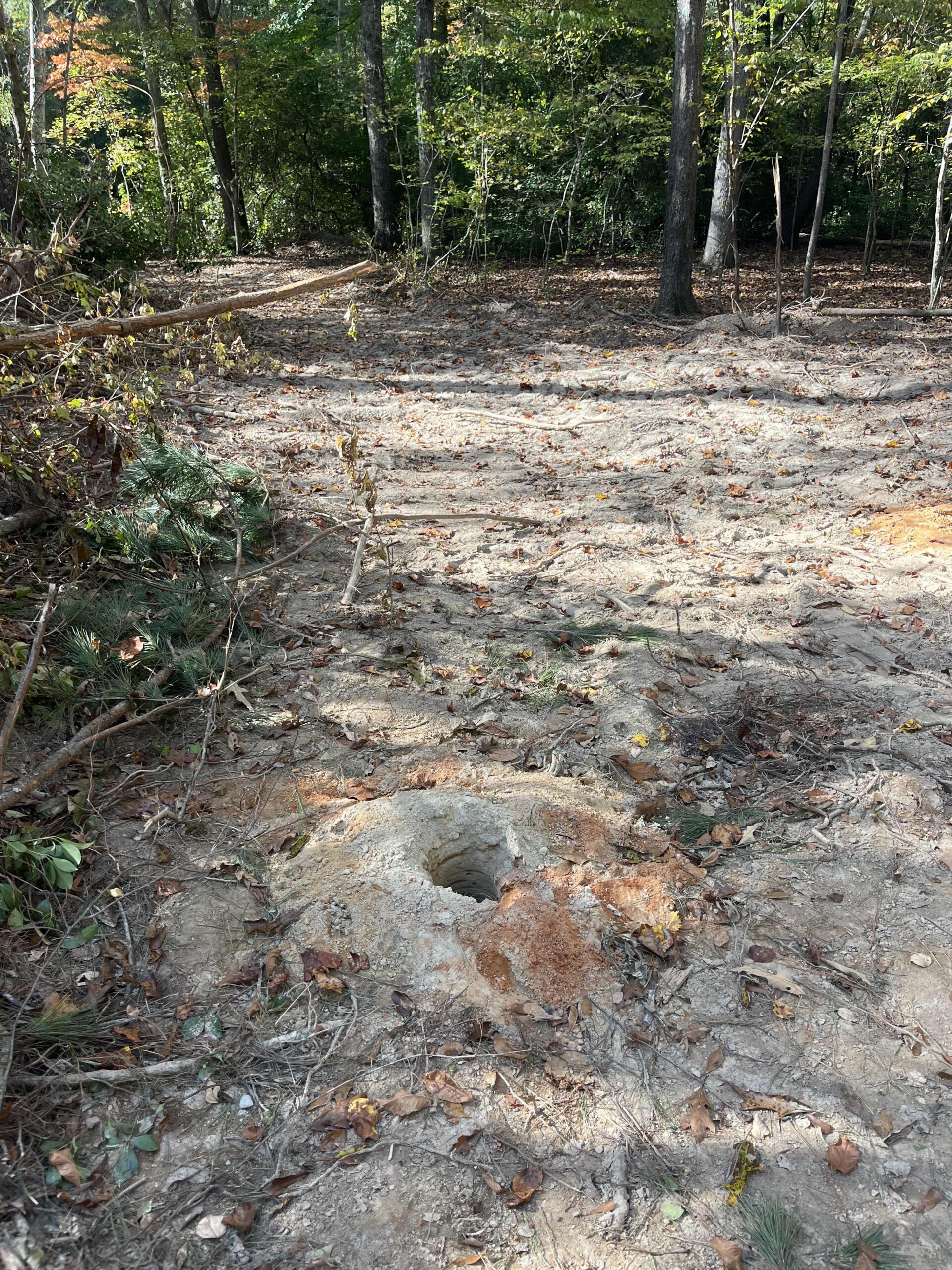
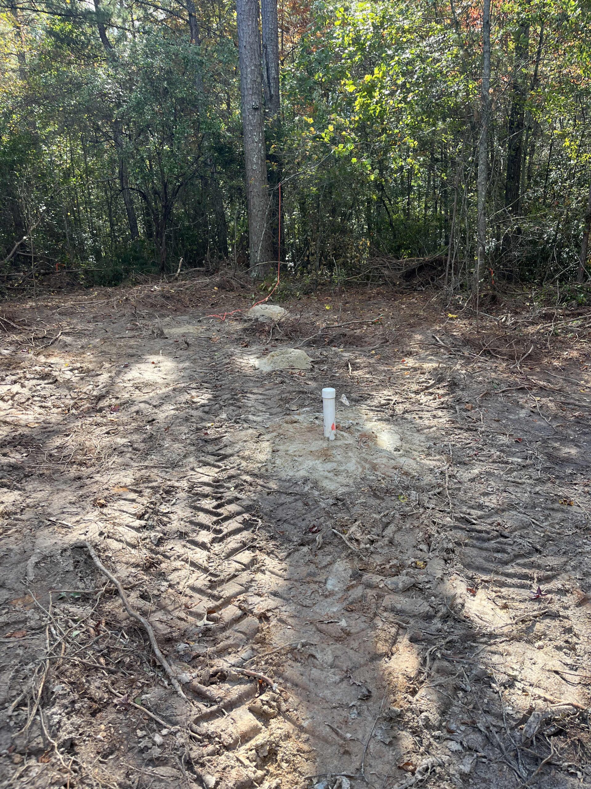
Borehole I-1:
- Proposed Depth: 16 feet
- Encountered refusal at multiple depths, most consistently around 8 feet.
- No groundwater detected after 48-hour monitoring.
Borehole I-2:
- Proposed Depth: 17 feet
- Encountered refusal at depths between 7 and 9 feet.
- No groundwater detected after 48-hour monitoring.
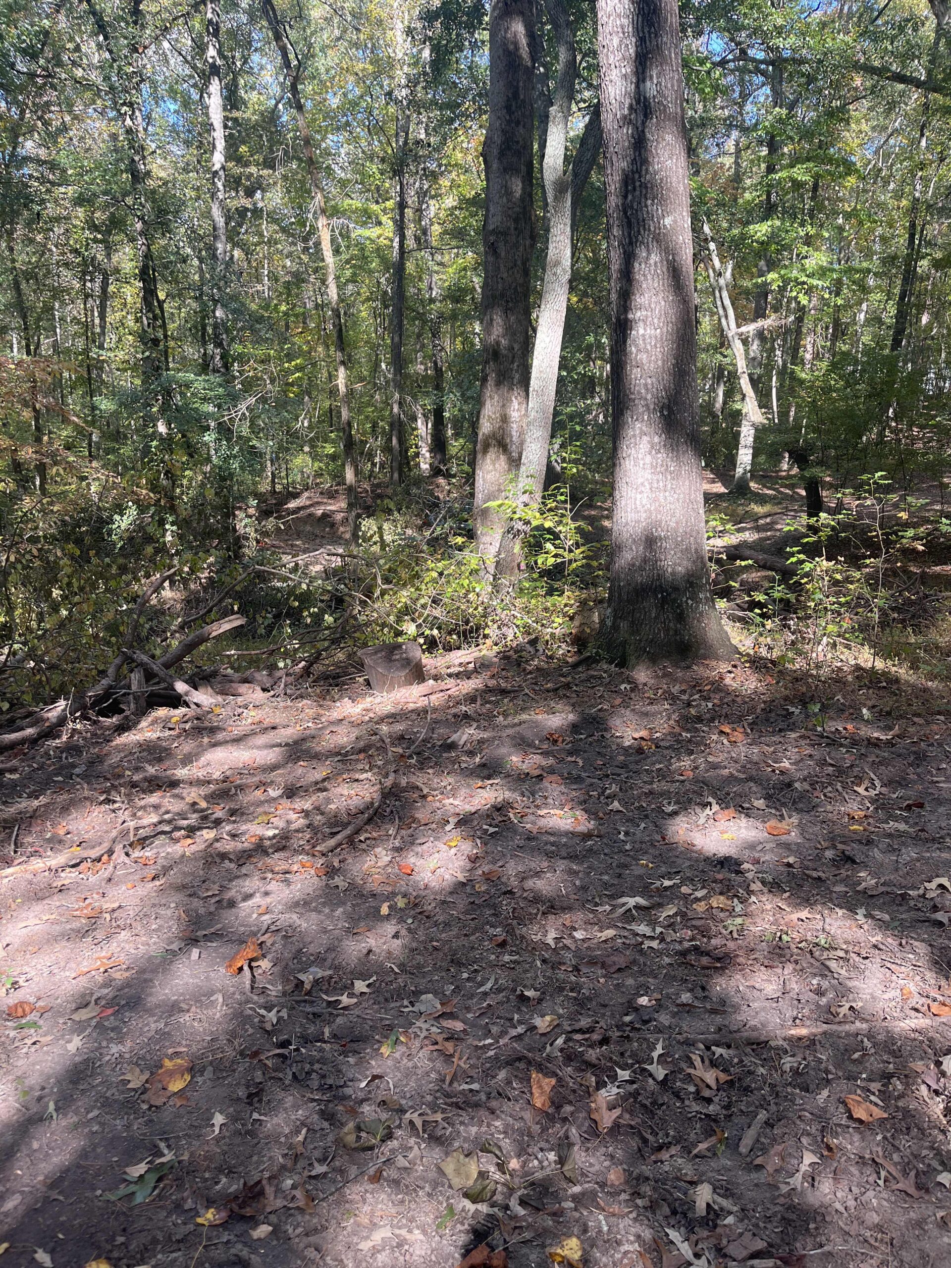
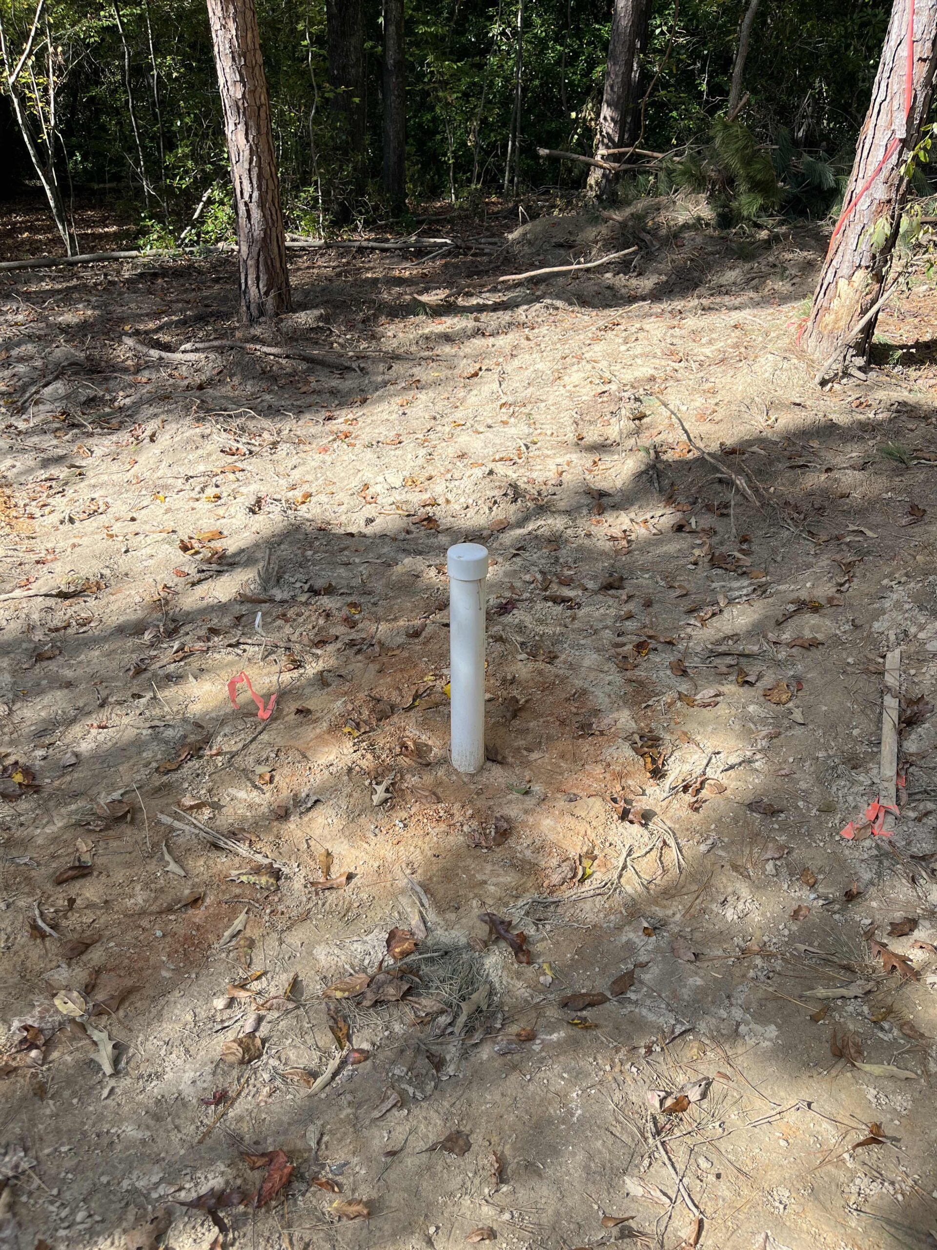
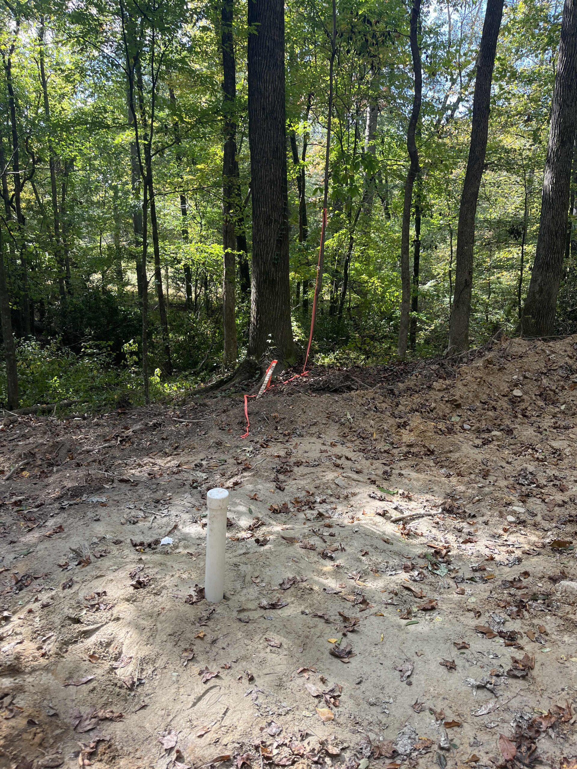
Borehole I-3:
- Proposed Depth: 17 feet
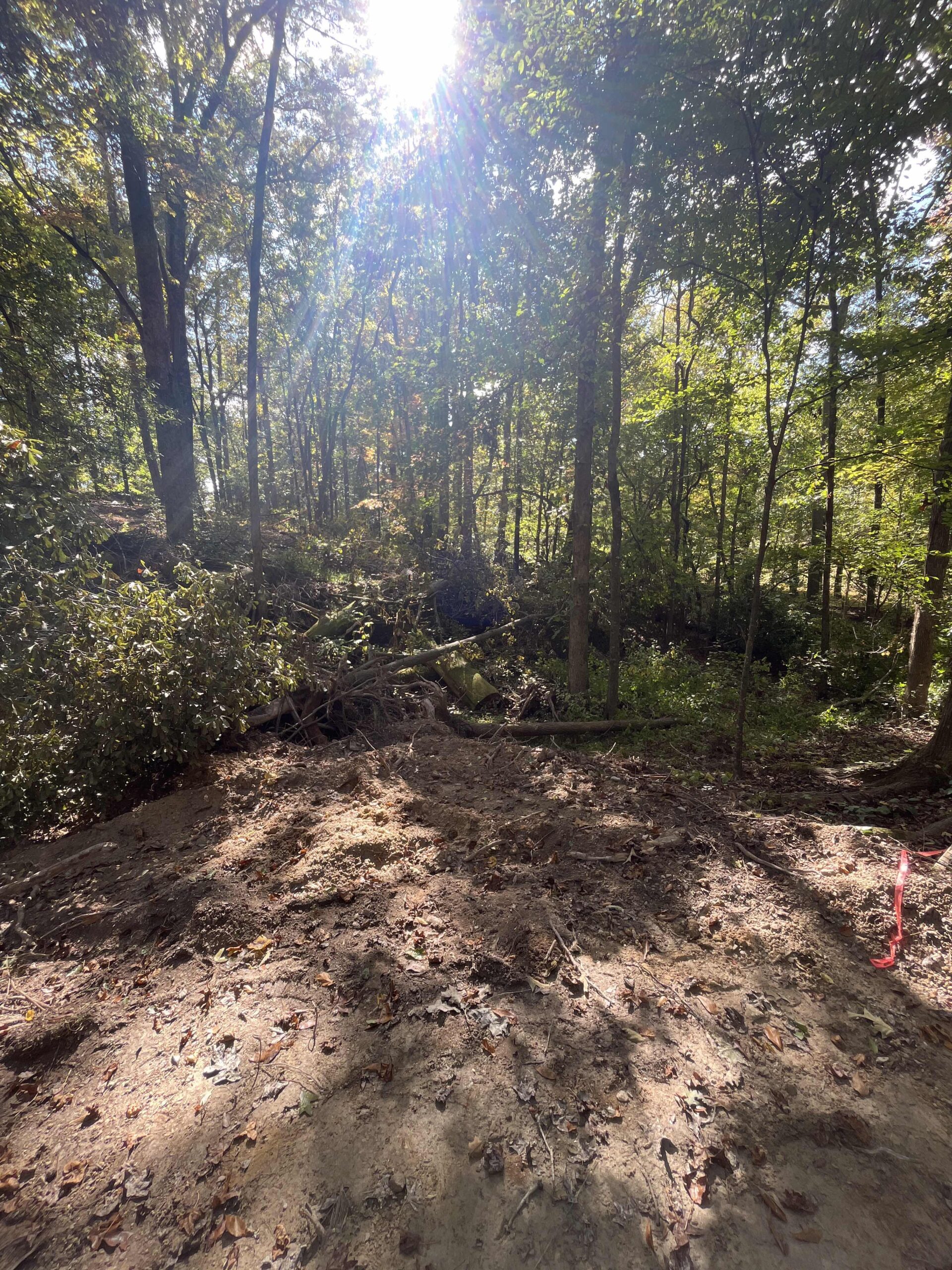
- Actual Drill Depth: 14 feet
- Percolation rates and water level changes monitored. Data captured and documented separately.
- Situated approximately 150 feet from I-4.
-
Percolation Test Data for Borehole I-3
Start Time Stop Time Time Interval (min.) Initial Depth to Water (in) Final Depth to Water (in) Change in Water Level (in) Percolation Rate (min./in.) 1:00 1:30 30 96 108 12 2.5 1:30 2:00 30 108 108 0 – 2:00 3:10 70 108 108 0 –
Borehole I-4:
- Estimated Elevation: 1100 feet
- Proposed Depth: 20 feet
- Drill Depth: Not specified
- Percolation rates and water level changes monitored. Data captured and documented separately.
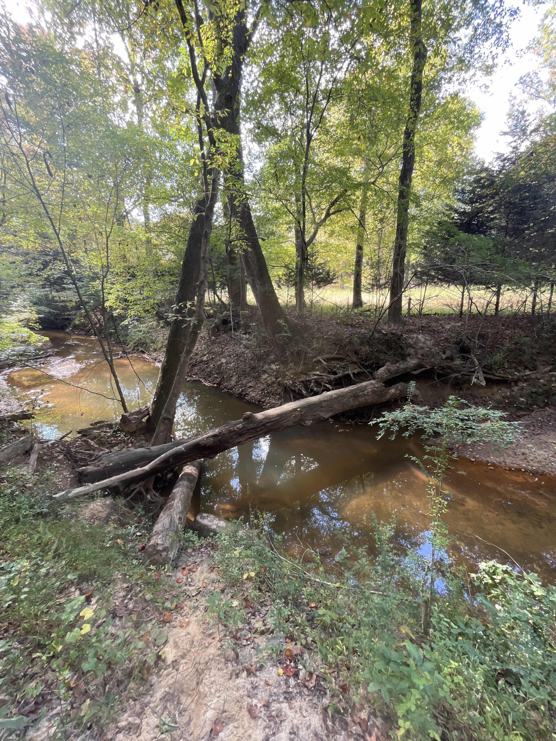
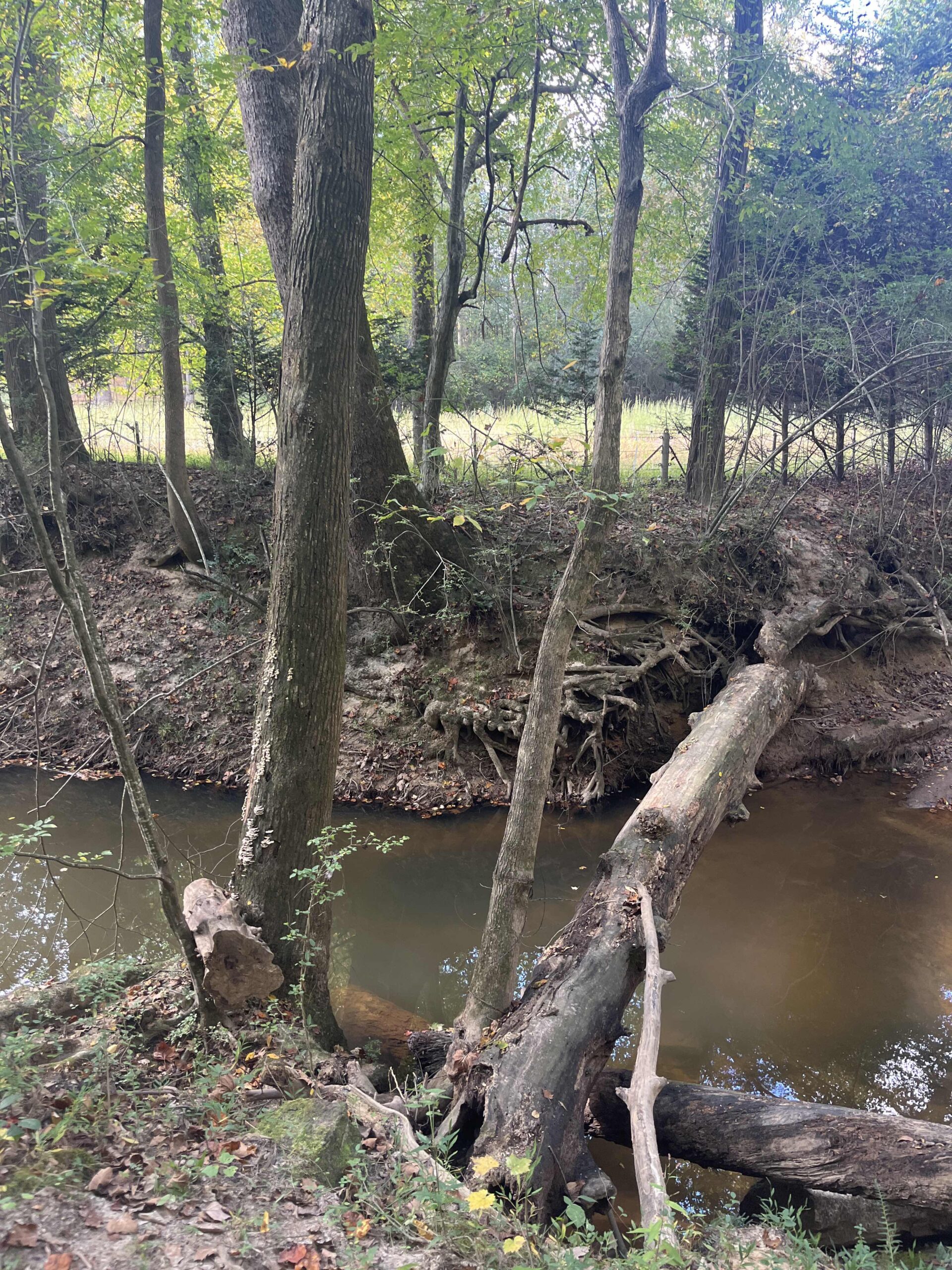
- Located approximately 125 feet from the creek, based on a pace count of 4.9 ft./sec.
Percolation Test Data for Borehole I-4
Start Time Stop Time Time Interval (min.) Initial Depth to Water (in) Final Depth to Water (in) Change in Water Level (in) Percolation Rate (min./in.) 12:00 PM 12:30 PM 30 204 210 6 5 12:30 PM 1:00 PM 30 210 216 6 5 1:00 PM 1:30 PM 30 216 222 6 5 1:30 PM 2:00 PM 30 222 228 6 5 2:00 PM 2:30 PM 30 228 234 6 5 2:30 PM 3:00 PM 30 234 240 6 5
Additional Observations:
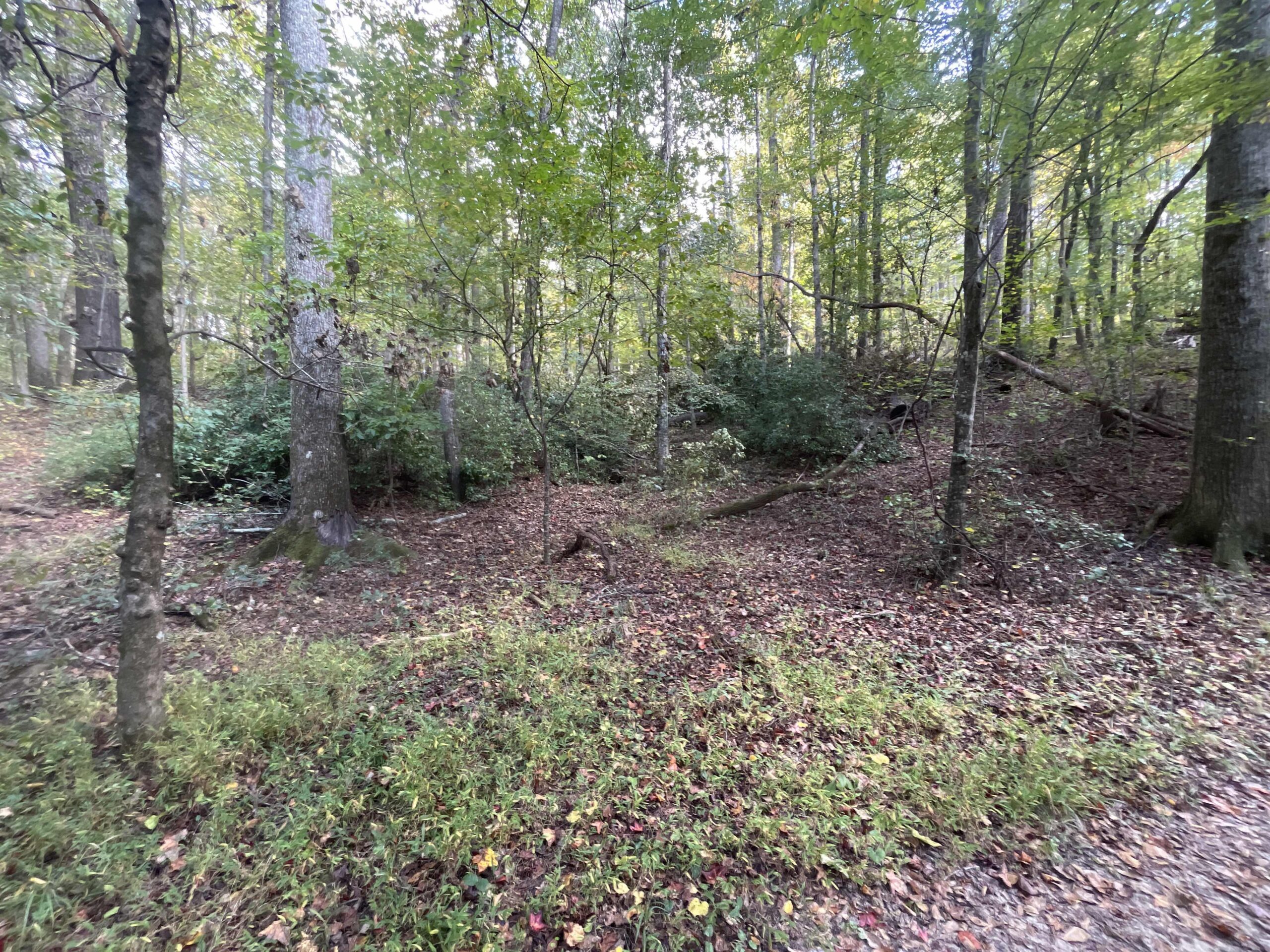
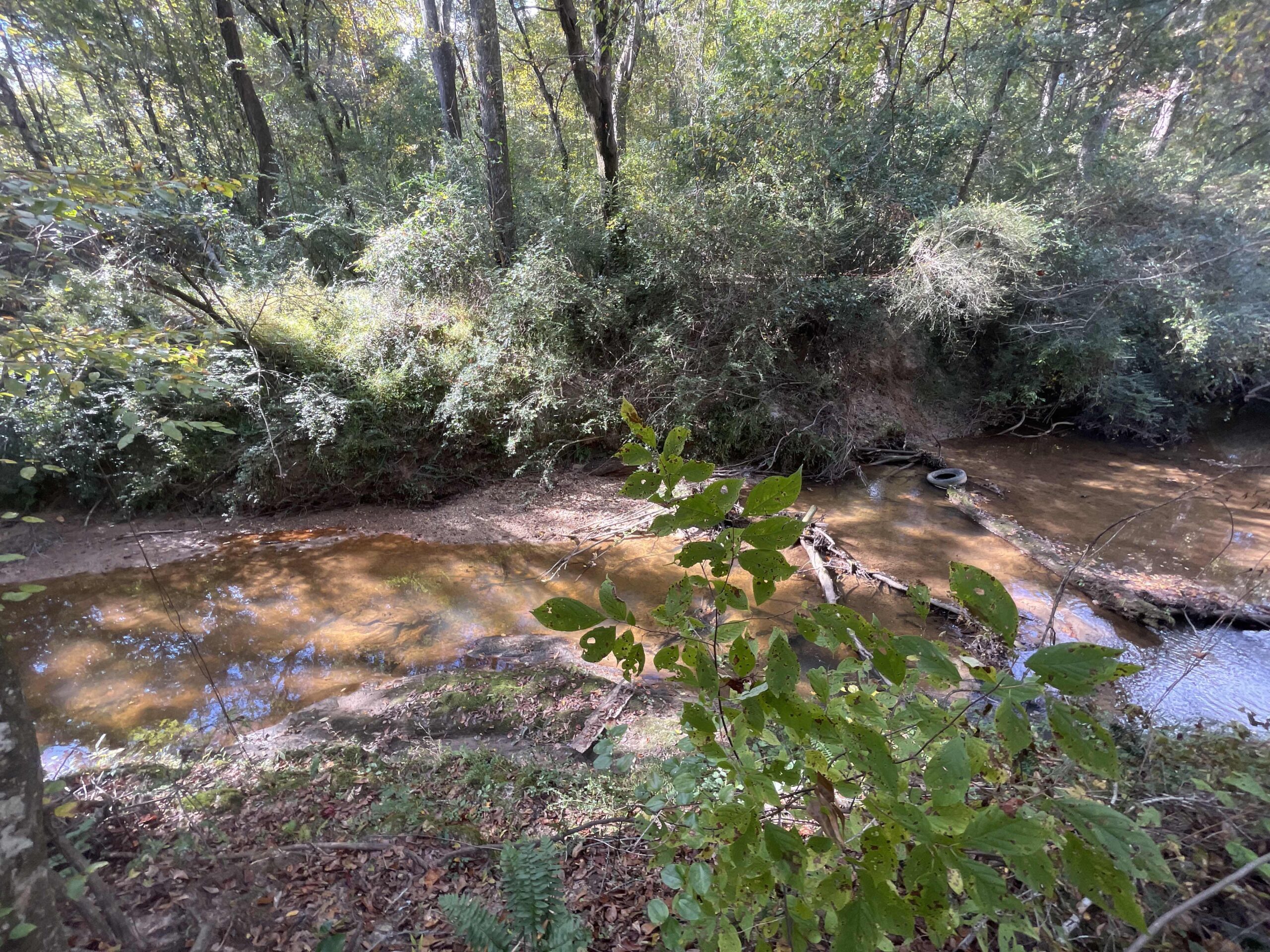
- Healthy vegetation observed on the creek banks, indicating a robust ecosystem.
- Water level elevation in the creek measured at 1060 feet.
- Banks of the creek are about 10 feet high.
- Depth of the creek at the observed section: 3 feet.
- Multiple rock outcrops were noted in the creek, particularly near I-1 and I-2.
- A draw exists between I-4 and I-3.
Conclusions:
- Refusal depths indicate a hard substratum or compacted soil layers, constraining the depth of the boreholes.
- No groundwater was detected in monitored boreholes, suggesting a lower water table.
- Percolation tests for I-3 and I-4 indicated consistent rates, implying uniform soil conditions.
Technician Signature / DateVidal Dias, October 18, 2023
Reviewer Name / DateKenneth Mosman, October 21, 2023